Ucluelet
Traditional Name: Yuułuʔiłʔatḥ (yoo-THLEW-ilth-uht)
Raw, unpolished, and completely its own thing. Ucluelet is where the Wild Pacific Trail winds through ancient rainforest to lighthouse-guarded cliffs — Canada's wild edge, without the lineup.
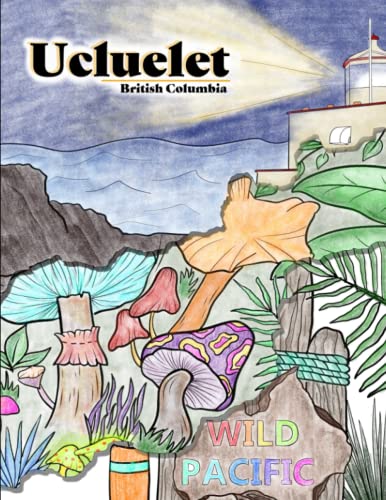
Ucluelet sits at the southern tip of the Ucluth Peninsula, where Barkley Sound opens to the open Pacific. Less famous than its neighbour Tofino, Ucluelet has always attracted a different kind of visitor — one who prefers lighthouse walks over surf lessons, storm-watching over beach volleyball, the quiet of He-Tin-Kis Park over a crowded coffee shop. There's a ruggedness here that feels earned.
The town and the surrounding coastline make up the traditional territory of the Yuułuʔiłʔatḥ (Ucluelet First Nations), who have lived here for over 10,000 years. Their name translates directly to 'people of the safe harbour' — a reflection of the protected waters of the inlet that have sheltered canoe journeys for millennia. In 2011, the Yuułuʔiłʔatḥ signed the Maa-nulth First Nations Final Agreement, becoming a self-governing treaty nation — one of the first on Vancouver Island. Their community at Hitacu, across the bay, continues cultural revitalization programs alongside modern governance.
The Wild Pacific Trail is the centrepiece — 10 kilometres of rugged coastal path that winds from the lighthouse at Amphitrite Point through ancient rainforest and along storm-carved headlands. In winter, waves that have crossed the entire Pacific arrive here with nothing to stop them. Every illustration in the Inklands Ucluelet coloring book comes from a real place on this coastline.
Ucluelet is the traditional territory of the Yuułuʔiłʔatḥ (yoo-THLEW-ilth-uht), a self-governing Nuu-chah-nulth nation since 2011. They've lived in Barkley Sound for over 10,000 years, relying on cedar, salmon, and whaling. The name 'He-Tin-Kis' — a park in town — means 'the place where canoes were pulled up' in their language.
We acknowledge the Yuułuʔiłʔatḥ (Ucluelet First Nations) and all Indigenous peoples whose territories we explore.
Places you'll color
Every illustration in the Inklands Ucluelet book depicts a real location below. Color the places, then go visit them.
Wild Pacific Trail
A rugged coastal trail winding through ancient rainforest and rocky headlands with stunning ocean views.
Did you know? The trail offers two loops — the easier Lighthouse Loop (2.6 km) and the more challenging Ancient Cedars Loop (8 km).
Amphitrite Point Lighthouse
The iconic lighthouse standing guard over the storm-battered Wild Pacific coast since 1915.
Did you know? The lighthouse was originally built with fog horns that could be heard 16 km away! It was fully automated in 1997.
Big Beach
One of Ucluelet's most dramatic surf beaches, raw and wild in all seasons.
Did you know? Big Beach is backed by a towering cliff that creates a natural amphitheater — great for watching stormy winter waves.
He-Tin-Kis Park
A hidden gem featuring a sheltered beach, tide pools, and a wooden boardwalk through the forest.
Did you know? "He-Tin-Kis" means "the place where the canoes were pulled up" in the Nuu-chah-nulth language.
Ucluelet Harbour
The working harbor where fishing boats have unloaded their catch for over a century.
Did you know? Ucluelet means "people of the safe harbour" — a name reflecting its role as a welcoming port for thousands of years.
Color all 30 illustrations in the Ucluelet book
Detailed destination illustrations, high-resolution PDF — download instantly and start coloring.
When to go
Best Time to Visit
Year-round destination! Summer for beaches and hiking, fall for storm-watching (October–December brings massive waves), spring for whale watching. The Wild Pacific Trail is spectacular in winter fog.
Travel Tip
Don't miss sunset from Amphitrite Point Lighthouse — one of the most photographed spots on Vancouver Island. Bring layers; weather changes fast!
Other books
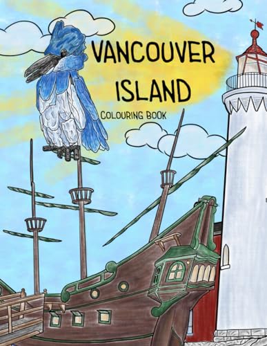
Vancouver Island
From the wild Pacific coast to ancient old-growth forests, explore Vancouver Island through 29 illustrations of its most iconic landscapes.
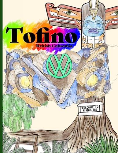
Tofino
Tofino's rugged beauty in full detail — from surf breaks to rainforest trails, every page is a love letter to Canada's west coast paradise.
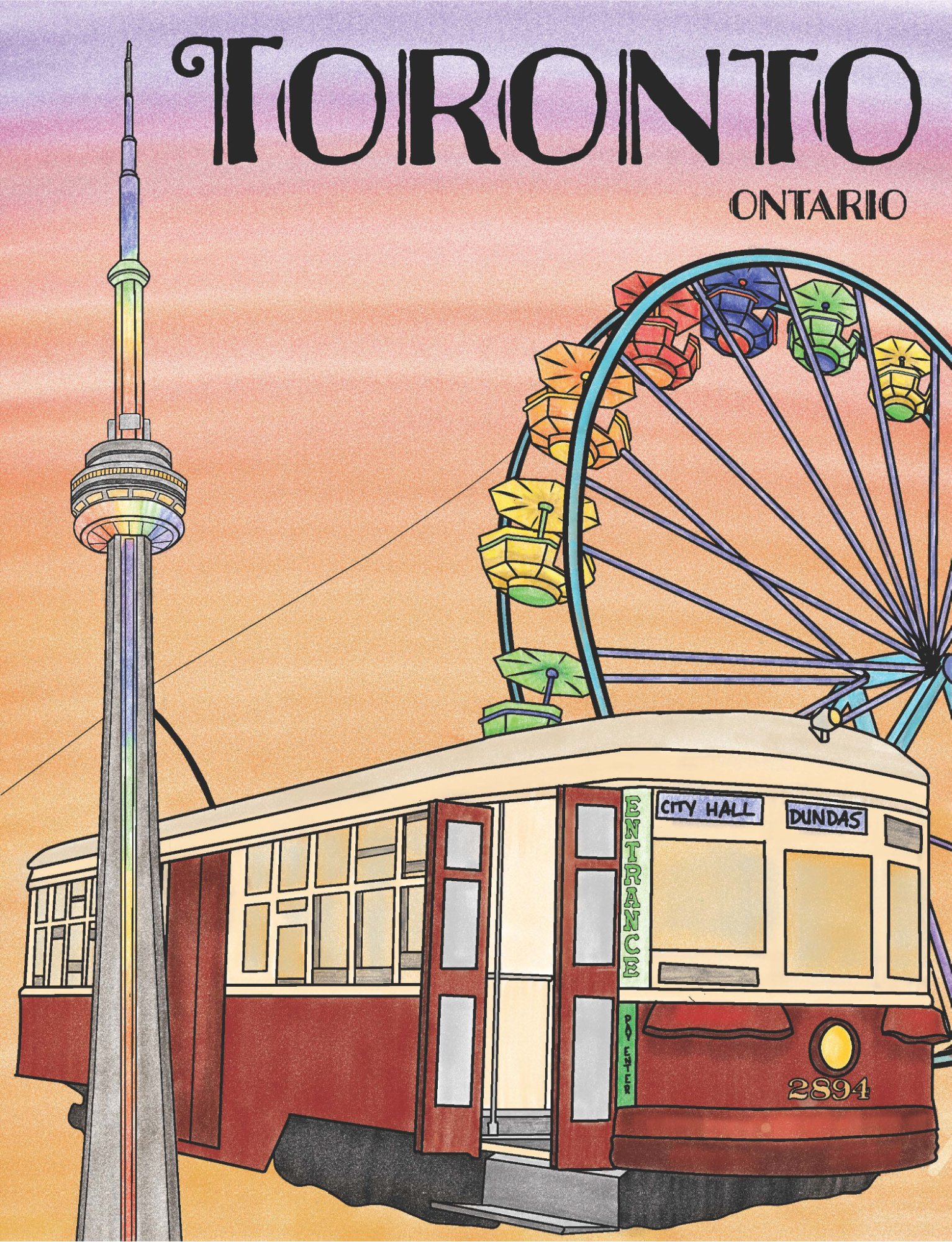
Toronto, Ontario
Canada's biggest city, illustrated. From the CN Tower to Kensington Market, discover Toronto one illustration at a time.